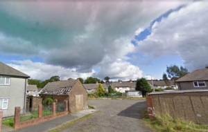
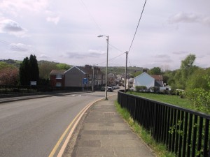
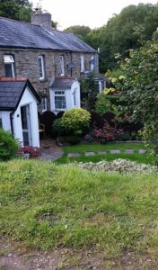
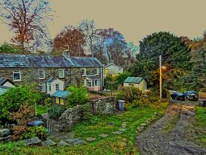
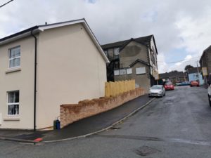
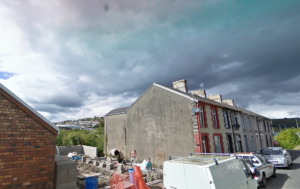
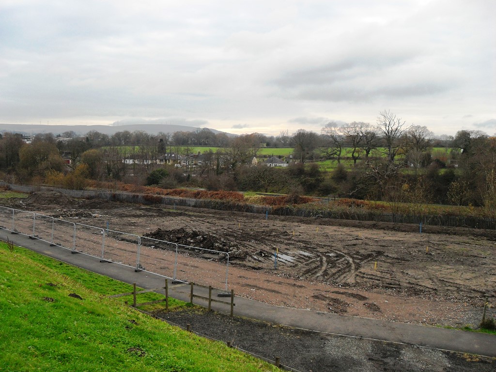
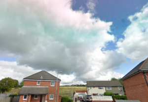
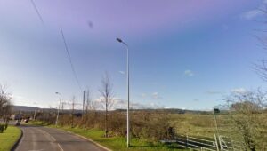
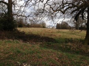
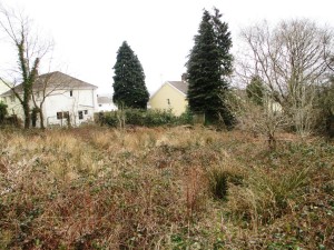
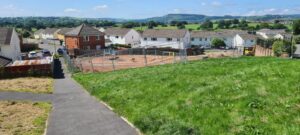
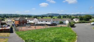
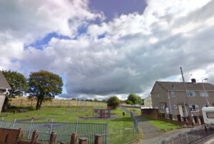
This section is dedicated to photographs of Trelewis, both old and new
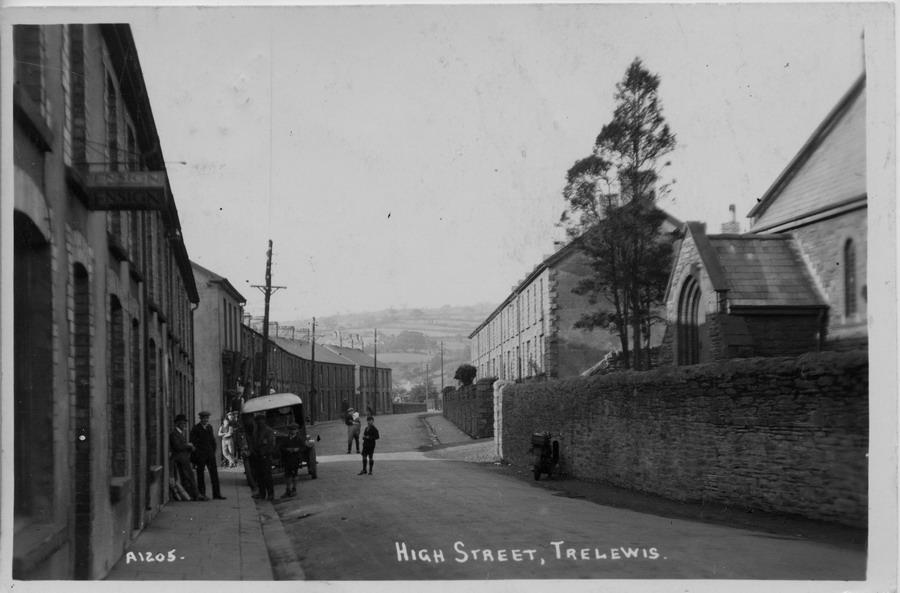
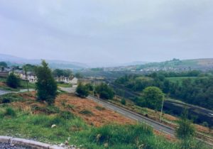
- The Area around the old subway, Bontnewydd Terrace including aerial shots
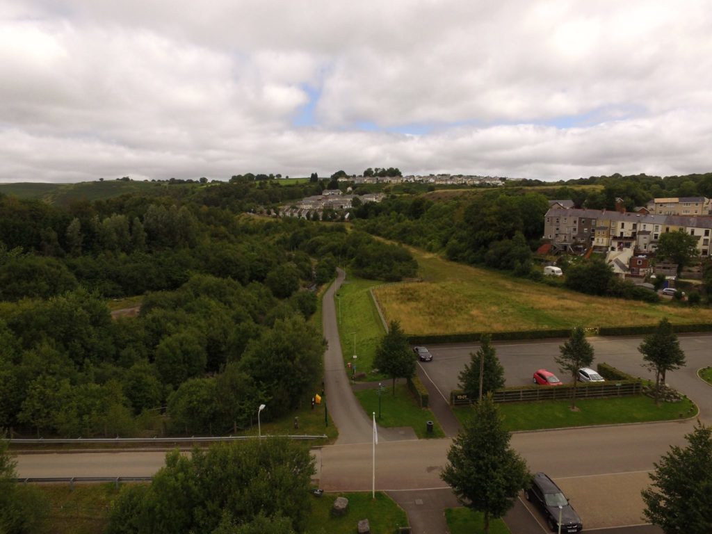
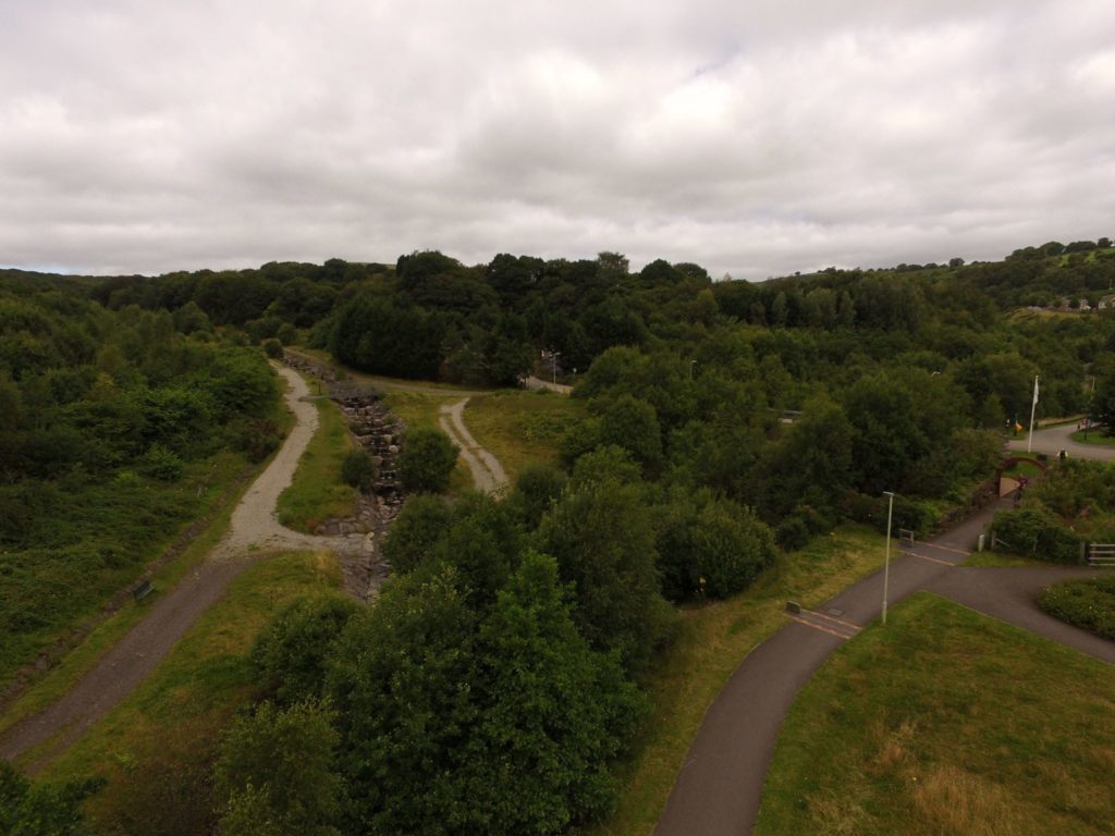
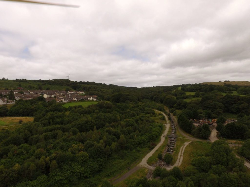
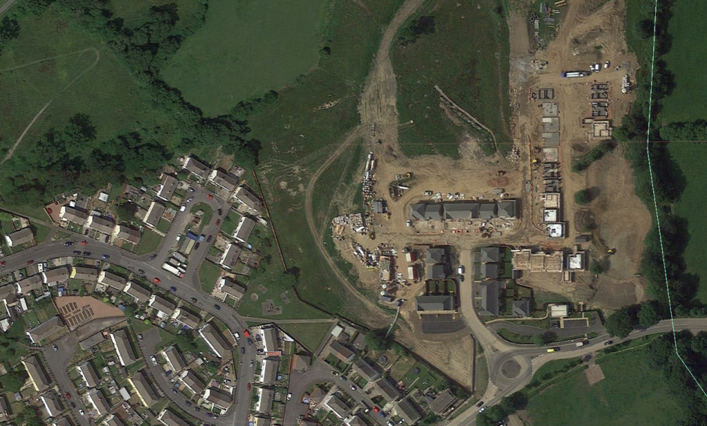
- Aerial photogrpahs 2019
- The railway crash Bontnewydd 1964?
- Older Photographs of the village
- Photographs from up until 2005
- Photographs 2005-present day
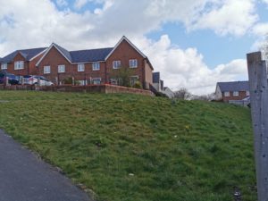
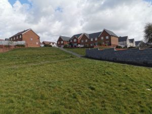
- The new housing Development behind the Shingrig Estate
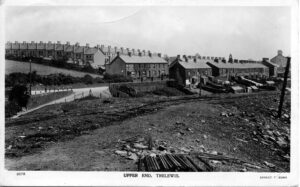
The area leading to and from the Ex Servicemen’s club was used as a short cut to Trelewis from Treharris;this area is now completely transformed but here is a reminder of how it looked at the turn of the century.

On top of the subway, the old track to Taff Merthyr Colliery 1999
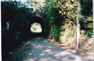

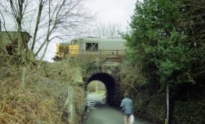
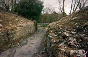
Demolished by 2000 shows how narrow it was
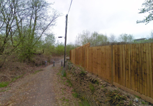
how it looked in 2011
Railway tunnel at the top of Captains hill

No more entry for cars 1999

On the roof of the subway 1999

Looking up to Bontnewydd Terrace

Looking down towards the subway from Bontnewydd Terrace 1999
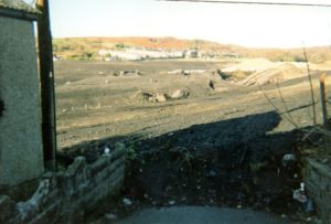
Same view 2001
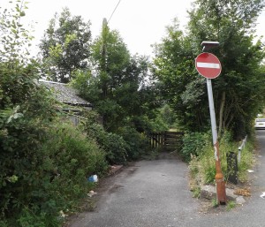
Same view 2016
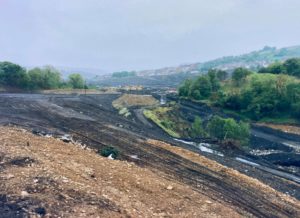
Below we see some aerial photographs of the old Deep Navigation site 2016 transformed
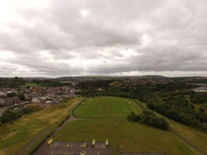
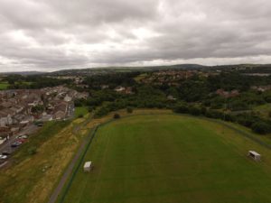
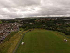
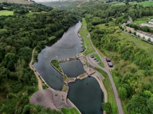
Great photo above by Jason Jones Pricilla Terrace view

The subway

Barriers that were put in place that finally prevented cars from using the subway

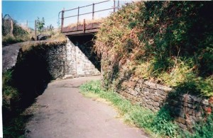
September 1999 road into Subway
Below are four photographs of the subway area courtesy of Lynda Collins some feature Lynda and her grandson Dale Jones.


(Photographs are courtesy of Robert Amos )
Top of Subway just before it was demolished and covered late October 1999

Behind High street Weigh Bridge

Looking down from High Street entrance to Barry Woods
Aerial Photographs of the village 2019
Stormtown ,Taff Merthyr Garden Village

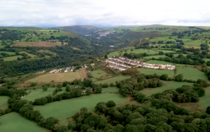
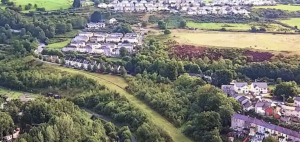
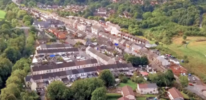
Middle of the village
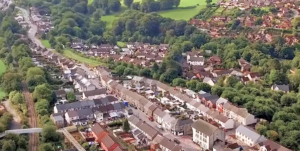
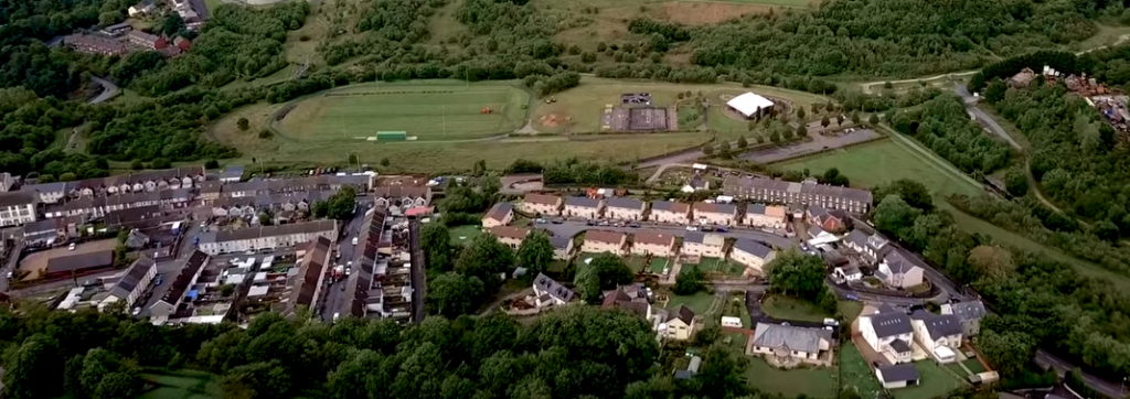
Shingrig Estate built early 1960’s by Wimpey
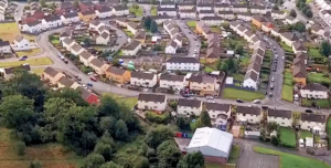
Top of the Shingrig with the new houses just appearing 2019
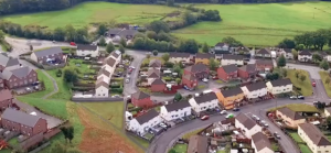
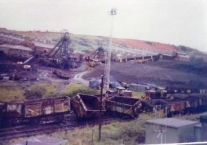
The Crash on the railway line 1960’s Bontnewydd
Thanks to Terry Cox for these photos
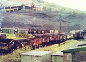
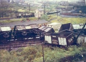
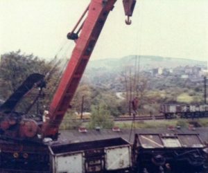
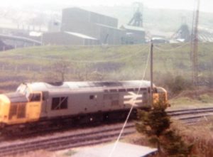
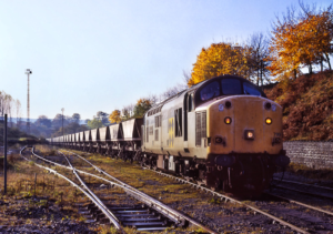
Behind Trelewis High Street by old Weigh Bridge
Older Photographs of the village
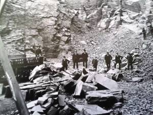
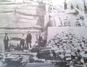
Bontnewydd Quarry courtesy of June Morgan
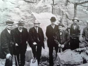
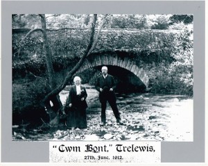
Mark Ninnis discovered this photograph (above). It was one of the original bridges in the village,just below Penygroesheol, it was buried along with the river.
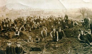
Above we see a rare picture of the people of Trelewis, looking for coal in the tip behind Bontnewydd Terrace, it is believed this photograph was taken during the great strike in the 1920’s (picture courtesy of Tony Evans)

Above we can see a pre first world war photograph it shows Glyn Bargoed road, Glyn Bargoed house and Bontnewydd Terrace.
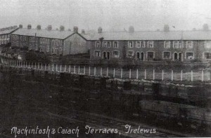
Mackintosh and Caiach Terrace, date unknown

Captains Hill and the Dingle (Merthyr Library)
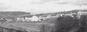
The Wimpey estate
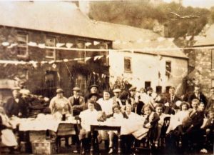
Below we see Melin Caiach (Mill road) when it was full of people
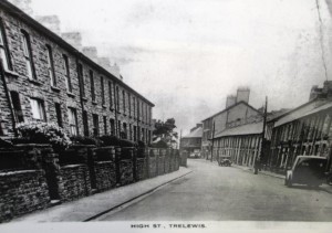
A wintery High Street
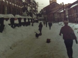
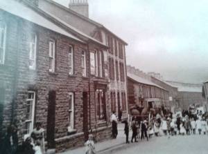
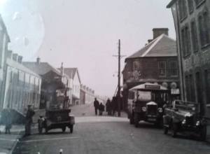
High Street
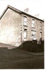
57 High Street demolished due to subsidence
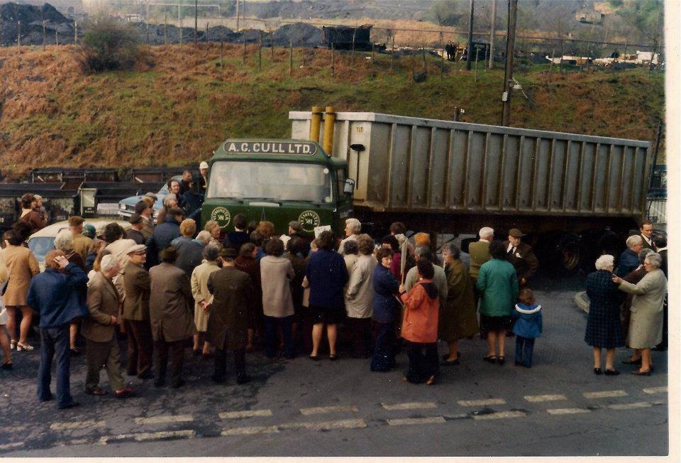
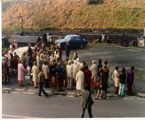
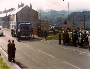
Trelewis people protesting about the uncovered lorries passing through the village in the 1980’s
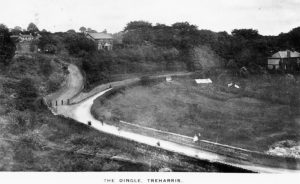

The Dingle Today, can’t get the same angle

One of the hundreds of checks in Robert Amos’ collection…this one was for use at the Co Operative in Trelewis…just at the end of the High Street pictured above.

A 1912 photograph of the Railway and road bridges that separated Trelewis from Treharris across the Bargoed river further up and the river was buried under the colliery
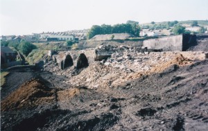
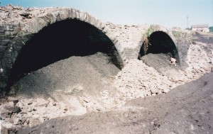
In 2000 the viaduct was removed thanks to June Morgan for the two photographs above
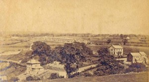
Trelewis 1890’s
Picture from Merthyr Library. Church is visible on top left, half of high street not built including the Bontnewydd Inn, Bottom left is the three storey old surgery house. Middle right Glyn Bargoed house and opposite some houses in Glyn Bargoed Terrace
Same view 20 years later
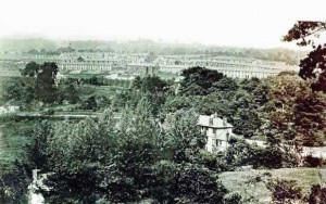
Looking over the old colliery towards Barry woods from Cherry tree way steps on the High street Trelewis 1987
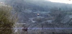
Photographs of the Trelewis Village up until 2005
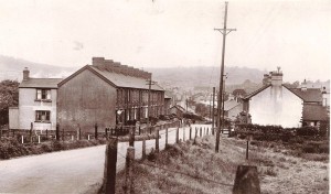
Park Terrace Trelewis 1960’s
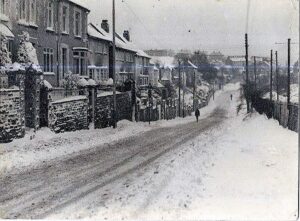
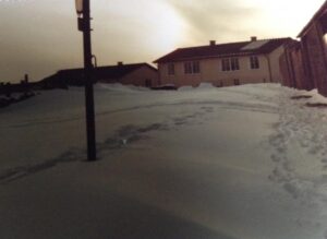
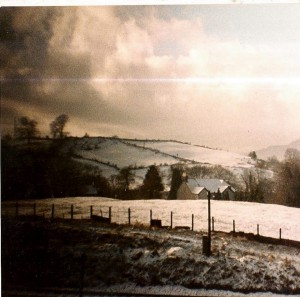
snowy Trelewis
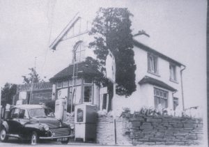
Mr and Mrs Wilde’s Cropthorne garage Shingrig
Cheery tree way entrance
Glyn Bargoed house before Beechcroft 1960’s and below in 1987
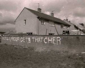
Graffiti on the Shingrig estate in the 1980’s
The Millenium Park on the border of Treharris and Trelewis

PLEASE SEE BEDLINOG PLACES OF INTEREST FOR MORE PHOTOS
We will start with the River running through the valley being brought back to the surface and a new waterfall created and bridge to replace the old viaducts

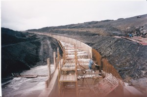
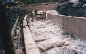
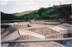
Creating a new tunnel below the former viaduct


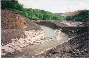
Once it was complete the river flows

Looking towards the Mill Road

How it looked in 2010
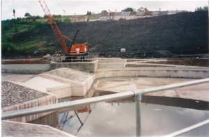
Reclaiming the valley from the colliery
Lynda Collins of Cherry tree way, Trelewis, contributed the following photographs. They show the work that was done in transforming the former colliery into the new Millennium Park for the community.If you go to places of interest (Bedlinog) on this site you will be able to see more photographs of the remedial works that repaired the landscape.
A huge trench was built to bury rubbish
Looking towards Cilhaul
Below the next four photographs show how the lakes were created.
Below the river is now on top of the valley
Once cleared the river once again flowed through the middle of the valley
Dismantling the Washery
The following aerial photos taken by Gwyn Jenkins show the old pit site in 2016
Below we see a long shot of Stormtown
Stormtown
Trelewis from Cilhaul mountain in the 1990’s
looking back towards Trelewis from Stormtown hill
Work beginning opposite Pricilla Terrace
Club row 1977 Silver Jubillee
Standing up is Maggie Harris Nee Blunt
Front is Edgar Garbett ,Trevor Harris,Clive Summers.Dai Davies,Henry Morgan
Opposite side is Big Bill, Tont Nolan, Syd Harris and Glan Edmunds.
SOME OF CLUB ROW 1939 RESIDENTS
Number Family name given name and age
5 Bevan Thomas aged 44
5 Bevan Anne M aged 37
5 Bevan David John (Jack) aged 15
6 Jones Thomas 66
6 Jones Louisa 50
6 Jones (Creese) Isabella 22
6 Jones Thomas James 20
6 Jones (Bunce) Muriel 18
6 Jones (Morgan) Joan 14
7 Hampton (Williams) Florence Ruth aged 36
7 Hampton Henry aged 54
7 Hampton Henry aged 15
7 Hampton (Collins) Amelia Barbara aged 11
8 Phillips Margaret Jane 49
9 Blunt Frederick 19
9 Blunt (Adams) Bertha 45
10 Thomas Elias D 49
10 Thomas Gwendolyn 46
10 Thomas William David 24
10 Thomas Idwal aged 9
11 Cochran Jane aged 46
Trelewis 2005 until present day
Major road and pavements works took place in 2012-13 they took ages to complete
Cherry Tree way and playground on old colliery site
Edwards Terrace with Stormtown in background
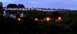
Stormtown at dusk by Robert Walters 2014
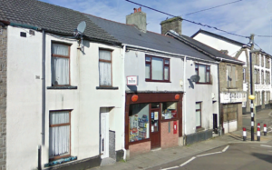
The post office, sadly no longer part of our village although there is another office, part of the convenience store, further up the High street, many memories of the England Family and my good friend Alun England (R.I.P.)
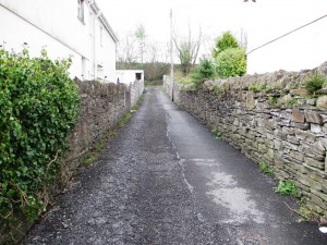
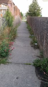
Alley way between Bontnewydd and High Street
Alley way opposite the old station High street
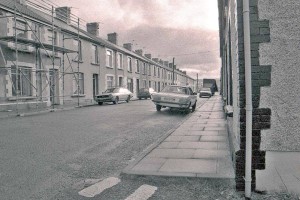
Bontnewydd Terrace late 1980’s (Jeremy Swattridge)
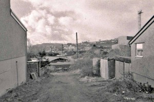
Lane by Bontnewydd Terrace looking towards the old club late 1980’s
The new bridge to the village 2008
2009
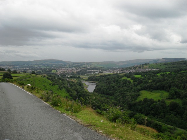
2010 valley view
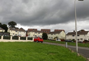
Trelewis Wimpey estate 2011
The gully between West View and the back lanes
Below we see the site of the old garages Mandeg
Back of West View
Back lane in Nant Gwyn
Old Welfare Wimpey estate
Underneath he Clock Bridge many Wimpey kids will have memories of this place.
2015 and the old den is Fenced off
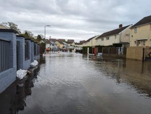
Wimpey flood May 2024
Residents found themselves trying to save their belongings when a water main was damaged by construction workers, quite a few families suffered extensive damage to the properties in Nany Gwyn. It took over a day to repair.
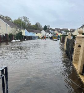

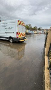

Ken Jones with his fishing net.
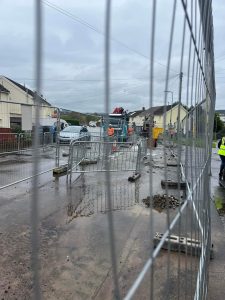
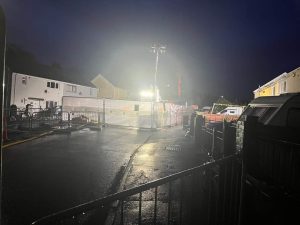
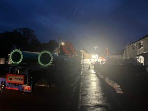
New main pipe finally installed but some families were left with very damaged homes

2010 Park Terrace
The Garage next to the Wimpey park ready for demolition 2014
High Street 2010
Snowy High Street 2010
The old infant school yard
The old Trelewis Quarry
Pandy cottages 2009
Pandy cottages 2015
Above we see two enhanced photos of the Pandy cottages 2015 by Robert Walters
Trelewis, Treharris and parts of Nelson were affected when a major water main burst near the Ffald Bridge. Thousands of people lost their water supply and bottled water was handed out freely by the water board to all residents. The main road between Trelewis and Treharris was closed and diversions were in place.
The problem is now repaired and the clean up is under way
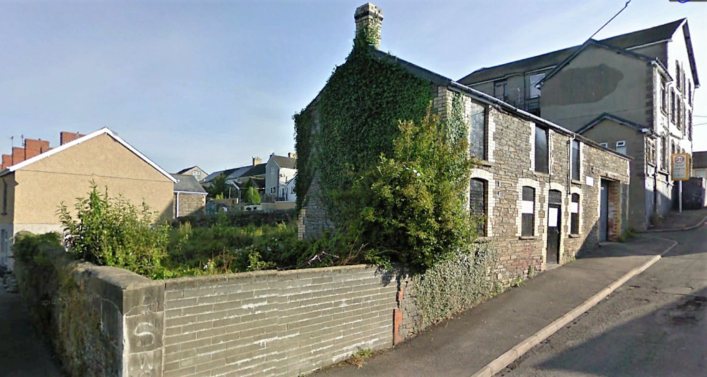
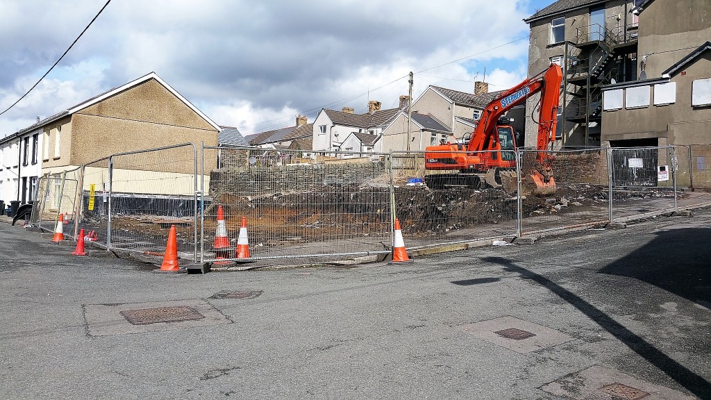
Below we see the old Dairy behind Bontnewydd Hotel demolished 2016
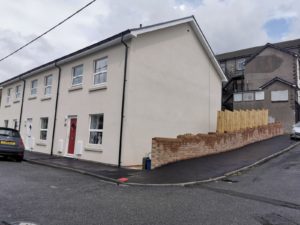
2019 and new homes are built
Another Bontnewydd change as a new home is built in 2009
Warren Terrace old pony club field redevelopment 2011
First two pictures are 2011
one below from 2009
Field next to Warren Terrace ready to be developed early 2012
Warren Terrace field after development
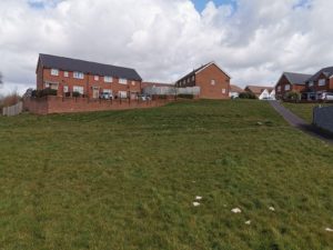
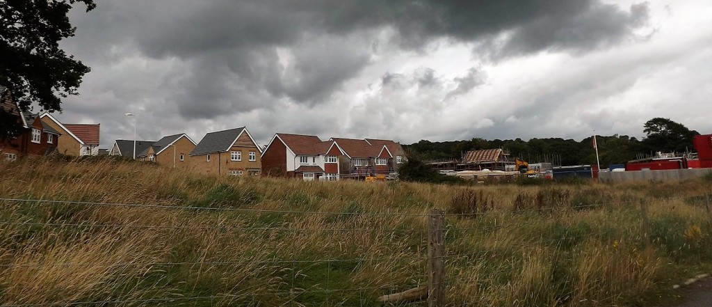
The New Housing Development behind the Shingrig Estate
It started in early 2013 and is progressing well with over thirty families already moved in. More houses are being erected by the week and its almost surrounding the rear of the Wimpey estate from its entrance opposite Llancaiaich Fawr. I have been taking photographs from the start and will update as we go along. There will be up to 300 new homes built adding up to 1,000 new residents to the village.
2011 no houses behind Tydfil close
Before the work started this was the road just before Llancaich Fawr
Work Began Early 2013
The next photographs are taken in Spring 2014, The diggers are on their way to develop this land very soon , so I took the opportunity take photographs. The area is behind Trelewis community centre, behind Nant Gwyn and Tydfil close and up from the Railway behind the Ffaldcaiach Pub
Behind Trelewis Community centre to be housing
Just under the Railway bridge Ffaldcaiach heading to the farm. This will also be part of the new housing development
Looking down Path to Ffald railway bridge
Behind the side of Pandy View
Looking down towards Community Centre
Looking down to Railway Bridge
Towards Community centre
Behind the Wimpey estate
Behind Community centre looking up to top fields
Directly behind Community centre
The Wicker gate for right of way
Preparing the ground and site office
View from back of Nant Gwyn2014
above we see 2020
Fields behind Tydfil Close will be developed into new Homes
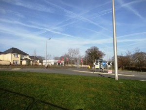
New Roundabout constructed
Above Views from Tydfil close up Gelligaer Road
House building begins
front of development Gelligaer Road
The estate is growing
Site office open Spring 2013
The next Photographs are taken after March 2014
Starting to surround the current estate 2014
Above 2020 and see the difference
View from Gelligaer road March 2014
Inside the estate the streets are forming
Two,three and four bedroomed houses available
March 14,2014
Opposite Llancaiach Fawr on Gelligaer road
Top of fields looking down on site
Looking in from fields opposite Llancaiach Fawr
2016 and Tydfil close and Pandy view are surrounded
2020 above
More new houses
2020 photos
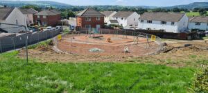
new park for both estates August 2020
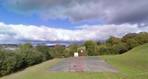
The Wimpey park 2011 before new housing


